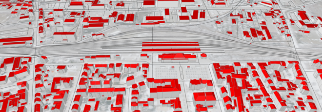
Early preliminary studies of large rail infrastructure projects are carried out with the help of geoinformation systems. At the start of planning, this often results in a duplication of effort, since the results of the preliminary studies have to be reviewed again, often years later and by other contractors, and the extracted information has to be introduced into the respective (BIM) planning tools. Not only does this procedure cost time and money, but there is also a high probability that information will be interpreted incorrectly and/or incompletely.
The literature shows that many details of the BIM-GIS interface have not yet been explored. Great focus is on the integration of BIM models into the GIS world, but rarely the other way around. Above all, practical experience shows that BIM models of large railroad projects considering GIS data are rarely performant due to their size and complexity. However, due to their impact on people and the environment, the near environment must be constantly considered. The integration of completed preliminary studies into the planning process can make an important contribution to planning-related decision-making without overloading the models with complex and spatially extensive geometries.