SLAM for UAS (WiSe 2014/15, SoSe 2015)

- Project goals
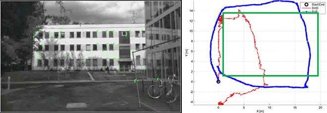
- Simultaneous Localization and Mapping (SLAM) for Unmanned Aircraft Systems (UAS)
- The problem in which a sensor-enabled mobile robot builds a map for an unknown environment, while localizing itself relative to this map
- Required
- Good programming experiences in C
- Deep mathematical understanding
- Good to know
- Lectures: Photogrammetric Computer Vision Image Analysis and Object Recognition
- Seminar: 3D-Reconstruction from Images
- Further Reading
- Grzonka, S.; Grisetti, G.; Burgard, W., "A Fully Autonomous Indoor Quadrotor," IEEE Transactions on Robotics, vol.28, no.1, pp.90, 100, Feb. 2012
