Baiyao Lin (talk | contribs) |
Baiyao Lin (talk | contribs) No edit summary |
||
| Line 9: | Line 9: | ||
|- | |- | ||
| [[File:first algorithm.jpg|600px|Introductory Algorithm]] | | [[File:first algorithm.jpg|600px|Introductory Algorithm]] | ||
| 1. Superimposed results of the Introductory Algorithm. By executing the algorithm, each participant of the class created a unique personal sign, based on their own name. <br><br> [[Media:introductory_algorithm.pdf|Introductory Algorithm]] <br><br> 2. Executed algorithm of Manuel, called | | 1. Superimposed results of the Introductory Algorithm. By executing the algorithm, each participant of the class created a unique personal sign, based on their own name. <br><br> [[Media:introductory_algorithm.pdf|Introductory Algorithm]] <br><br> 2. Executed algorithm of Manuel, called Arccry, inspired by 'Farcry' and the arcs presented. | ||
|- | |- | ||
|} | |} | ||
| Line 71: | Line 71: | ||
|} | |} | ||
==Algorithm Practice & HGP 3 — 16.11.18== | ==Algorithm Practice & HGP 3 — 16&23.11.18== | ||
{| border="1" | {| border="1" | ||
| Line 80: | Line 80: | ||
| [[File:gridnoise.png|400px]] | | [[File:gridnoise.png|400px]] | ||
| Practice with noise/cos/matrix. <br><br> [[File:gridnoise.pde]] | | Practice with noise/cos/matrix. <br><br> [[File:gridnoise.pde]] | ||
|- | |||
|} | |||
{| border="1" | |||
|- | |||
! style="width: 50%" | Result | |||
! style="width: 50%" | Algorithm | |||
|- | |||
| | |||
| *Open google map to search a bus stop(a) near you, then search a bus stop(b) near you, go to (b). Write down the time you arrive as (x)[xxh:xxm:xxs].<br>*Choose a bus on the messageboard, write down the bus number, how many minutes(m) it will arrive, and wait for the bus.<br>*Count the number of people in and out separately, get on the bus. Caculate a new number(n)=|num[in]-num[out]|, get off the bus at the (n)th stop. Write down the time you get off as (y)[yyh:yym:yys].<br>*Now check your compass on the phone, use the bus' leaving direction to record the compass direction as (z)[N, E, S, or W].<br>*Turn the time (x), (y) into coordinate, eg. 24h:24m:24s ->24°24'24". Caculate a new coordinate(nx, 2my), nx as altitude, 2my as longitude. If the bus stop(b) is to the north of (a), set altitude as |nx|, and set as -|nx| if south. So you can check on northern or southern hemisphere; If the bus number is even, set longitude as |2my|, and set as -|2my| if it's odd, so you can check on the east or west to the 0° longitude line.<br>*Look up the new coordinate on google map, if it is in a city, write down the city and country name, if it's not in a city, use the direction(z) to look for the nearest city on this direction, write down the names. | |||
|- | |- | ||
|} | |} | ||
Revision as of 19:26, 23 November 2018
Algorithm for Humans 1 & Algorithm of Manuel — 19.10.18
| Result | Algorithm |
|---|---|
|
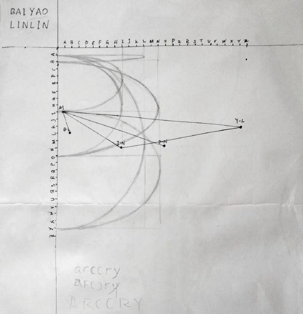
1. Superimposed results of the Introductory Algorithm. By executing the algorithm, each participant of the class created a unique personal sign, based on their own name. Introductory Algorithm 2. Executed algorithm of Manuel, called Arccry, inspired by 'Farcry' and the arcs presented. |
Algorithm Practice 1 — 26.10.18
| Result | Algorithm |
|---|---|
|
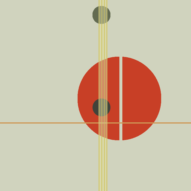
Work of László Moholy-Nagy. Moholy-Nagy.pde |
2D Grid Structure — 2.11.18
| Result | Algorithm |
|---|---|
Error creating thumbnail: convert convert: Unrecognized option (-layers). Error code: 1
|
2D grid structure with rotate. Arc.pde |
Algorithm Practice & HGP 2 — 9.11.18
| Result | Algorithm |
|---|---|
|
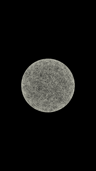
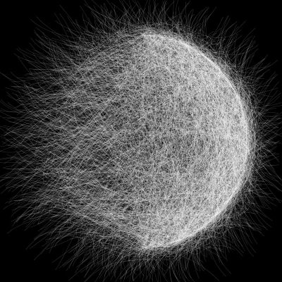
Practice with array. File:Float array tryout.pde |
Algorithm Practice & HGP 3 — 16&23.11.18
| Result | Algorithm |
|---|---|

|
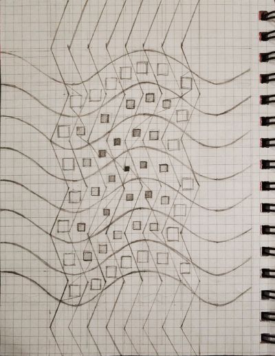
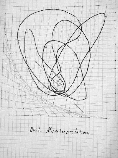
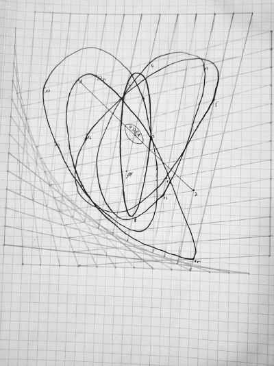
Practice with noise/cos/matrix. File:Gridnoise.pde |
| Result | Algorithm |
|---|---|
| num[in]-num[out]|, get off the bus at the (n)th stop. Write down the time you get off as (y)[yyh:yym:yys]. *Now check your compass on the phone, use the bus' leaving direction to record the compass direction as (z)[N, E, S, or W]. *Turn the time (x), (y) into coordinate, eg. 24h:24m:24s ->24°24'24". Caculate a new coordinate(nx, 2my), nx as altitude, 2my as longitude. If the bus stop(b) is to the north of (a), set altitude as |nx|, and set as -|nx| if south. So you can check on northern or southern hemisphere; If the bus number is even, set longitude as |2my|, and set as -|2my| if it's odd, so you can check on the east or west to the 0° longitude line. *Look up the new coordinate on google map, if it is in a city, write down the city and country name, if it's not in a city, use the direction(z) to look for the nearest city on this direction, write down the names. |
